Pix4Dsurvey
Price on Application
Description
BRIDGE THE GAP BETWEEN PHOTOGRAMMETRY AND CAD
Use Pix4D Survey to create engineering-ready CAD files from point cloud data by extracting key elements of your project. Suitable for a drone or any laser scanner.
Additional Information
CAPTURE
Capture images or point clouds with a drone or any laser scanner.
When using a drone, automate and optimize your flights with the free Pix4Dcapture mobile app.
MODEL
Transform your images into digital point clouds, and import them into Pix4Dsurvey.
Work directly with Pix4Dmapper or Pix4Dmatic files, as well as any .las or .laz file.
VECTORIZE
Generate a TIN to model the ground and create engineering-ready CAD vector files from point cloud data by extracting key elements of your project with Pix4Dsurvey.
INTEGRATE
Open your simplified, accurate data in any CAD or GIS software with custom layers and properties that fit your existing workflow.
AERIAL DATA
Create a point cloud from images in Pix4Dmapper or Pix4Dmatic, and drag and drop the .p4d or .p4m file to Pix4Dsurvey.
Downloads
Have a question?
Speak to our specialist today.
Contact Us
Speak to our specialist today.
Related products
-
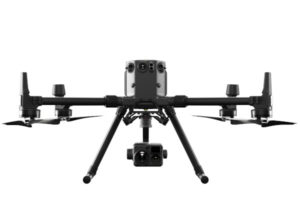
DJI Matrice 300 RTK
€325/Day , €675/Week -
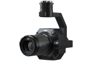
Zenmuse P1
Price on Application -
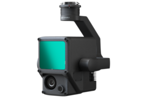
Zenmuse L1
Price on Application -
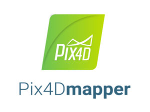
Pix4Dmapper
Price on Application