Pix4Dreact
Price on Application
Description
2D FAST-MAPPING FOR EMERGENCY RESPONSE AND PUBLIC SAFETY
Use the Pix4D React 2D fast mapping software for public safety and humanitarian aid professionals. Pix4Dreact is designed to be intuitive and simple to use, even for people with little or no drone flight or photogrammetry experience.
Additional Information
CAPTURE
Fly your drone to capture the images you need. Plan an optimized and automated flight with an app like Pix4Dcapture for Parrot and DJI drones.
PROCESS
Combine large numbers of images in minutes with Pix4Dreact. Create measurable 2D maps in the field or back at base.
EXAMINE
With Pix4Dreact’s simple tools, identify and measure points of interest, mark and evaluate your maps while on the ground to provide powerful data needed to take action.
SHARE
Export your maps to ensure teams and decision makers are provided with effective information when it’s needed most.
RESPOND
With up-to-date maps, gain precious time, improve safety and reduce costs when responding to an evolving situation.
Downloads
Have a question?
Speak to our specialist today.
Contact Us
Speak to our specialist today.
Related products
-
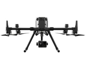
DJI Matrice 300 RTK
€325/Day , €675/Week -
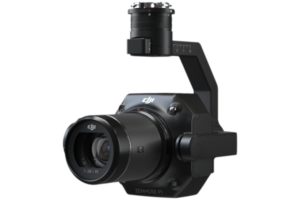
Zenmuse P1
Price on Application -
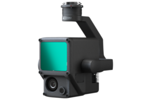
Zenmuse L1
Price on Application -
Pix4Dmapper
Price on Application