Pix4Dmatic
Price on Application
Description
NEXT-GENERATION PHOTOGRAMMETRY SOFTWARE FOR CORRIDOR AND LARGE-SCALE MAPPING
Use Pix4Dmatic to work with the latest generation of drones for professional applications and transforms your large number of images into accurate point clouds, DSMs and orthomosaics.
Additional Information
BIGGER DATASETS, ACCURATE RESULTS
Pix4Dmatic processes thousands of images while maintaining survey-grade accuracy, halving the processing time, without the trouble of splitting and merging.
FULLY AUTOMATED PROCESSING
Developed in close-collaboration with surveyors and mapping professionals to streamline your workflow: import, process and assess the quality of a project in just a few clicks, and move seamlessly from Pix4Dmatic to Pix4Dsurvey.
FUTURE-PROOFED FOR BVLOS
Pix4Dmatic is ready to support the large datasets generated by BVLOS* (beyond visual line of sight) drone flights.
Downloads
Have a question?
Speak to our specialist today.
Contact Us
Speak to our specialist today.
Related products
-
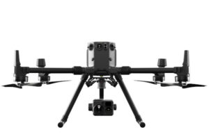
DJI Matrice 300 RTK
€325/Day , €675/Week -
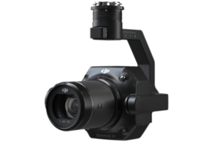
Zenmuse P1
Price on Application -
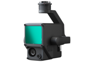
Zenmuse L1
Price on Application -
Pix4Dmapper
Price on Application