Pix4Dmapper
Price on Application
Description
THE LEADING PHOTOGRAMMETRY SOFTWARE FOR PROFESSIONAL DRONE MAPPING
Use Pix4D Mapper to turning images into accurate 2D maps and 3D models. They’re customizable, timely, and complement a wide range of applications and software.
Additional Information
CAPTURE
Capture RGB, thermal, or multispectral images with any camera.
DIGITIZE
Pix4Dmapper’s photogrammetry algorithms transform your ground or aerial images in digital maps and 3D models.
Seamlessly process your projects on your desktop using our photogrammetry software, or bundle with Pix4Dcloud for online processing.
CONTROL
Use the power of photogrammetry in the rayCloud environment to assess, control and improve the quality of your projects.
Use the quality report to examine a preview of the generated results, calibration details, and many more project quality indicators.
MEASURE & INSPECT
Accurately measure distances, areas, and volumes.
COLLABORATE & SHARE
Streamline project communication and teamwork.
Selectively and securely share project data and insights, with your team, clients, and suppliers, using standard file formats.
Downloads
Have a question?
Speak to our specialist today.
Contact Us
Speak to our specialist today.
Related products
-
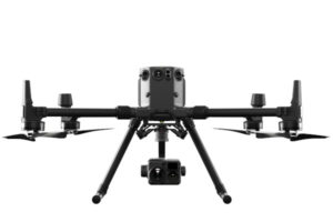
DJI Matrice 300 RTK
€325/Day , €675/Week -
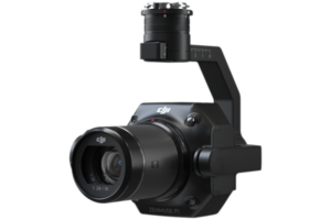
Zenmuse P1
Price on Application -
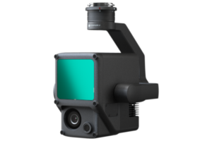
Zenmuse L1
Price on Application -
Leica BLK2FLY
Price on Application