Pix4Dcapture
Price on Application
Description
FREE DRONE FLIGHT PLANNING APP FOR OPTIMAL 3D MAPPING AND MODELING
Use Pix4Dcapture to plan and control drone flights using only your mobile phone.
Additional Information
FLEXIBLE
Fly multicopter DJI and Parrot drones. Trigger RGB, multispectral and thermal sensors. Plan and fly your missions online or offline.
PRECISE
Define the altitude in relation to the GSD you need. Set camera angle, image overlap and flight speed.
AUTOMATIC
Upload images directly from the device to Pix4D software in the cloud for processing.
Have a question?
Speak to our specialist today.
Contact Us
Speak to our specialist today.
Related products
-
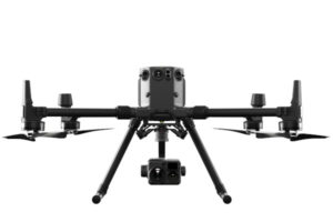
DJI Matrice 300 RTK
€325/Day , €675/Week -
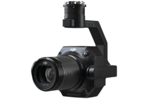
Zenmuse P1
Price on Application -
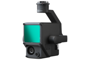
Zenmuse L1
Price on Application -
Pix4Dmapper
Price on Application