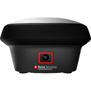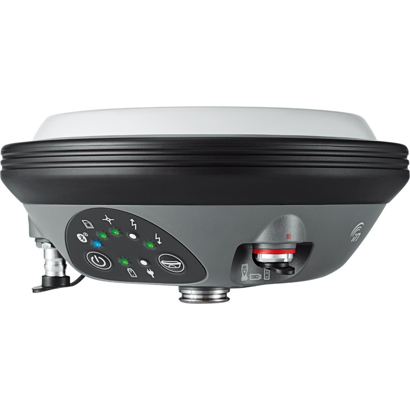
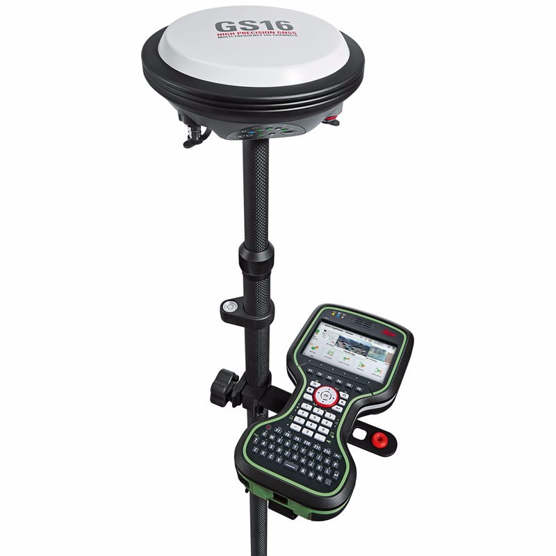
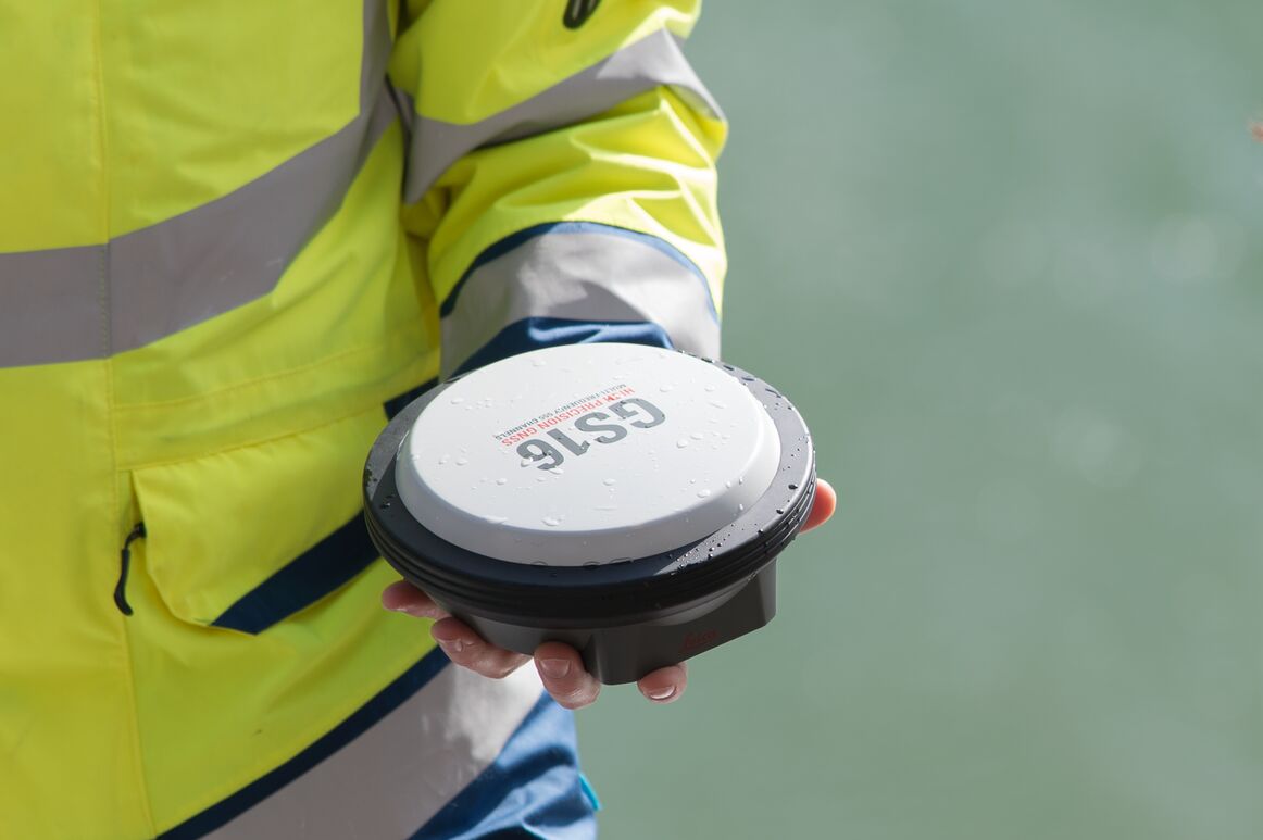

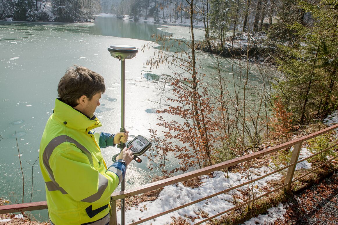


Leica Viva GS16 GNSS Smart Antenna
Price on Application
Description
Lightweight GNSS Smart Antenna for accurate positioning
The Leica GS16 is the most powerful and compact, self-learning GNSS smart antenna. Operating with the principal RTK technology, the Viva GS16 meets the uppermost standards in measurement superiority with SmartLink and RTKplus. The increasing number of signals from an expanding satellite constellation requires a GNSS receiver to be quicker and smarter. RTKplus intelligently adjusts to altering conditions by choosing the optimum signals to provide the most accurate positions. Work more efficiently and in more demanding environments than ever before.
Enjoy continuous precise positioning even if your local correction service is not available due to obstacles or shortage of cellular coverage with the global SmartLink service.
Engaging Software
The Leica GS16 GNSS smart antenna comes with the ground-breaking Captivate software, turning complicated data into the most realistic and workable 3D models. With easy-to-use applications and recognised touch technology, all forms of design and measured data can be viewed in all dimensions. Leica Captivate spans applications and industries with hardly any more than a swipe, regardless of whether you work with total stations, GNSS or both.
Infinite Possibilities
While Captivate captures and models data in the field, Leica Infinity software processes the information back in the office. A smooth data transfer ensures the project stays on track. Captivate and Infinity work in conjunction to join previous survey data and edit projects faster and more efficiently.
Powerful Handheld Devices
The Lecia CS35 tablet and CS20 Controller provide the essential control, convenience and absolute mobility. Touch-screen technology allows for comfortable and fast data processing while an impressive 3D view transforms your experience.
Share Data Among Instruments
Leica Infinity imports data from your GNSS, total station and level instruments for one complete and precise result. Processing has never been made easier when all your instruments work in together to produce accurate and actionable information.
Features
- 555 channels for more signals, faster acquisition and improved sensitivity
- Intelligent management of multi-frequency, multi-constellation signals
- Unique RTK technology provides continuous checks to guarantee correct results
- Initialisation within seconds
- Complete reliability
- Achieve centimetre accurate positioning worldwide – perfect when working in remote areas around the globe
- No RTK base station or RTK network required, correction data is continuously transmitted by satellite delivering global coverage
- Bridging RTK outages for uninterrupted centimetre Positioning
- IP68 protection
- Built for extreme temperatures of -40°C to +65°C
- SmartNet Satellite Positioning – your No.1 partner for network RTK
- Leica Exchange – transfer data easily, quickly and safely
Downloads
Have a question?
Speak to our specialist today.
Contact Us
Speak to our specialist today.
Related products
-
Leica GHT66 Pole Holder Base Plate
€115.00 excl VAT (€141.45 incl VAT) -
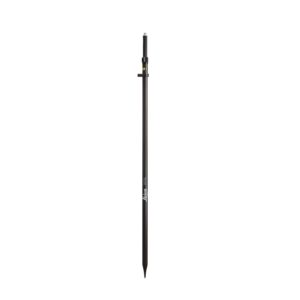
Leica GLS30 Telescopic Carbon Pole
€375.00 excl VAT (€461.25 incl VAT) -
Leica GS18 I GNSS RTK Rover with Visual Positioning
Price on Application -
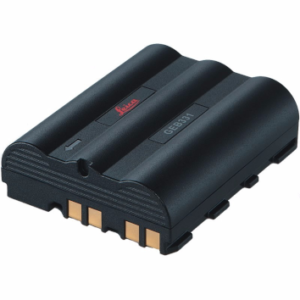
Leica GEB331 Battery
€161.00 excl VAT (€198.03 incl VAT)