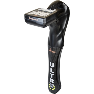
Leica Ultra Locator
Price on Application
Description
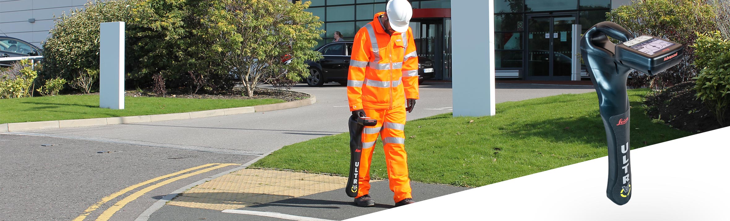
Precision locating for faster more confident results
Save time and increase confidence in your results with the Leica ULTRA, our most advanced precision utility tracing instrument.
The complexity of underground utility networks is continually increasing, and obtaining precise information on the location of buried utilities has never been more important. The protection of buried assets during excavation work demands accurate mapping and surveying of existing utilities. Integrating intelligent signal processing with unique flexible operating modes, Leica ULTRA traces buried utility lines accurately for safe underground excavations and utility surveys. Outstanding performance with operational ease and flexibility.
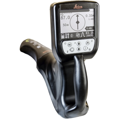
Selectable antenna and customized frequencies optimize your instrument for site-specific applications, supported by our AIM system which monitors signal interference levels, recommending which mode to use for the best results.
Configuration for challenging environments
Optimise the instrument to overcome the most challenging and complex site conditions. The Leica ULTRA System locator can be configured for different project environments and has more than 100 programmable operating frequencies available. Programme modes can adapt the onboard circuitry to repeatably deliver improved accuracy results.
Best frequencies in congested environments
When working in congested environments, the Leica ULTRA System incorporates Ambient Interference Measurement (AIM), which digitally analyses the surrounding area for noise and recommends the best frequencies for accurate results.
Locate utilities when access is obstructed
There will always be an occasion when a buried utility runs close to or underneath an obstruction. With Offset Measuring, the Leica ULTRA System can locate the target line when direct access from above is not possible. The unique function allows the software to calculate the horizontal offset (displayed to user) and the function uses the available data to estimate the horizontal and vertical (depth) distance.
Transmitter to receiver link
Control the transmitter directly from the receiver with Bluetooth communication link between the Leica ULTRA System receiver and the transmitter. Save time and improve efficiency by simply controlling the transmitter from the receiver, no more walking backwards and forwards to change settings.
Additional Information
Features:
- Configure for site specific applications
- Choose from 100 selectable frequencies, custom frequencies, user configurable modes from 50 Hz to 200 kHz
- Select antenna to best optimize for your job site
- Compass shows the user the direction of the trace utility
- Direction enabled – Identifying your target utility amongst multiple parallel utilities
- Ambient Interference Measurement (AIM)
- Offset Measuring
- Connect to GIS & GNSS systems
- Remote controlled transmitter
- Choose between 5W and 12W transmitter power outputs for superior tracing performance
- IP65 protection
- Identifying your target utility amongst multiple parallel utilities
Downloads
Have a question?
Speak to our specialist today.
Contact Us
Speak to our specialist today.
Related products
-
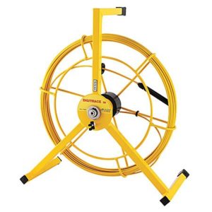
Leica Digitrace
Price on Application -
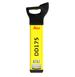
Leica DD175 Cable Locator
Price on Application -
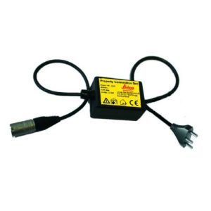
Leica Property Connection Set
€130.00 excl VAT (€159.90 incl VAT) -
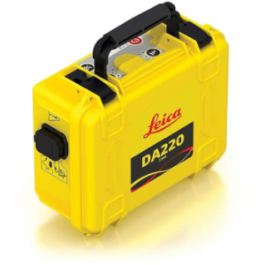
Leica DA220 3 Watt Signal Transmitter
Price on Application