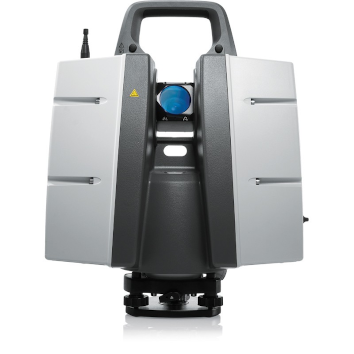
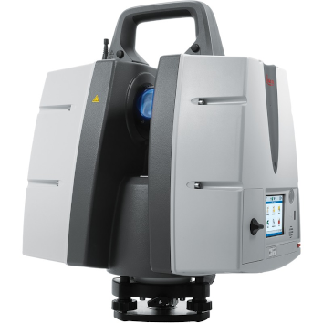
Leica ScanStation P40
Price on Application
Description
High-Definition 3D Laser Scanning Solution
Integrated 3D laser scanning solution providing unsurpassed speed
Accomplished Scanning
The Leica ScanStation P40 is a highly adaptable scanner appropriate for a range of classic scanning solutions. Its combination of range, speed, and accuracy paired with matchless sturdiness it is a comprehensive solution for a broad range of applications.
The ScanStation P40 offers uppermost adaptability including extended range abilities. Delivering exceptional speed, range, and data quality wherever and wherever required. It is the ultimate solution for any 3D laser scanning task.
The Correct Choice
Whether acquiring 3D geometry of civil infrastructure, generating an as-built illustration of an industry development or producing 3D data for Building Information Modelling (BIM), you will need a true long-range scanning instrument for projects. The Leica ScanStation P30 and P40 laser scanners are the best choices.
Extreme Performance in Tough Environments
The Leica P30 and P40 bring the highest quality HDR imaging and 3D data at a scan rate of 1 mio points p/second at distances of up to 270 meters. Supreme angular accuracy and range combined with survey-grade dual-axis compensation and low range noise form the basis for highly comprehensive 3D point clouds (color) mapped in lifelike clarity.
Decreased Downtime
The robust ScanStations function under harsh working conditions, such as intense temperatures varying from – 20°C to + 50°C, and conform to the IP54 rating for water and dust resistance.
Comprehensive Scanning Solutions
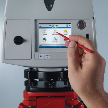
Leica ScanStation portfolio from Leica Geosystems comes as an integrated piece of a comprehensive scanning solution. Data can be processed in the foremost 3D point cloud software suite, consisting of Leica Cyclone, Leica CloudWorx, and the free Leica TruView.
Features
- Highest quality 3D data and HDR imaging
- Extremely high-speed scan rate of 1 mio points per second
- Ranges of up to 270 m
- Low range noise
- Survey-grade dual-axis compensation
- Highly detailed 3D color point clouds mapped in realistic clarity
Downloads
Have a question?
Speak to our specialist today.
Contact Us
Speak to our specialist today.
Related products
-
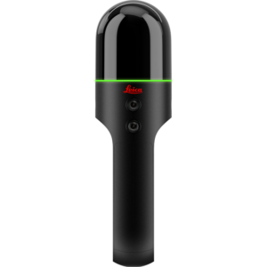
Leica BLK2GO
Price on Application -
Scan&Go Kit Easy Target
Price on Application -
BricsCAD®
Price on Application -
NEW Leica BLK360 Imaging Laser Scanner
Price on Application