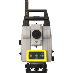
Leica Nova MS60 MultiStation
Price on Application
Description
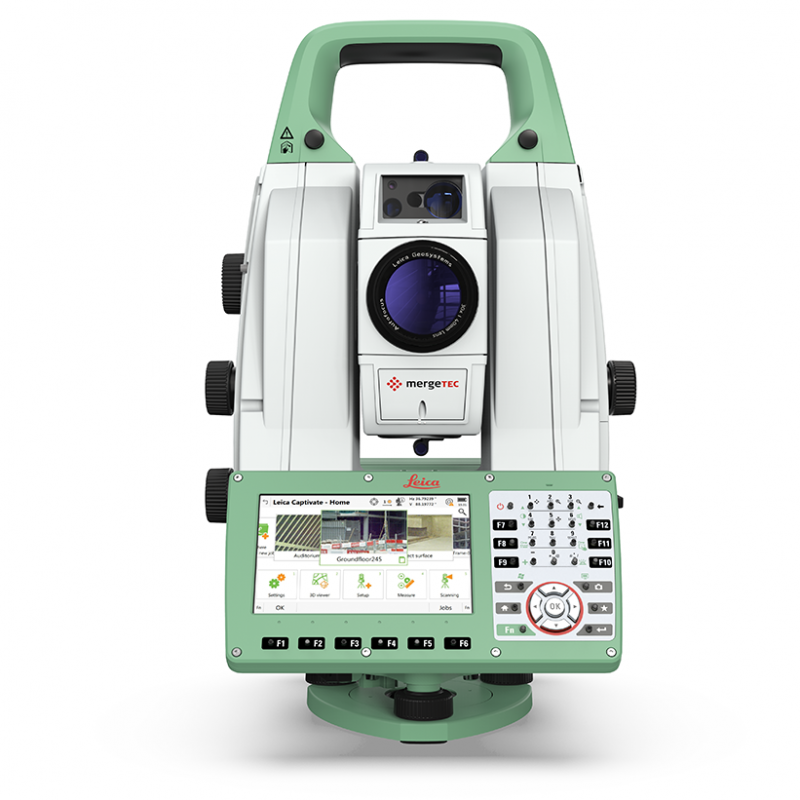
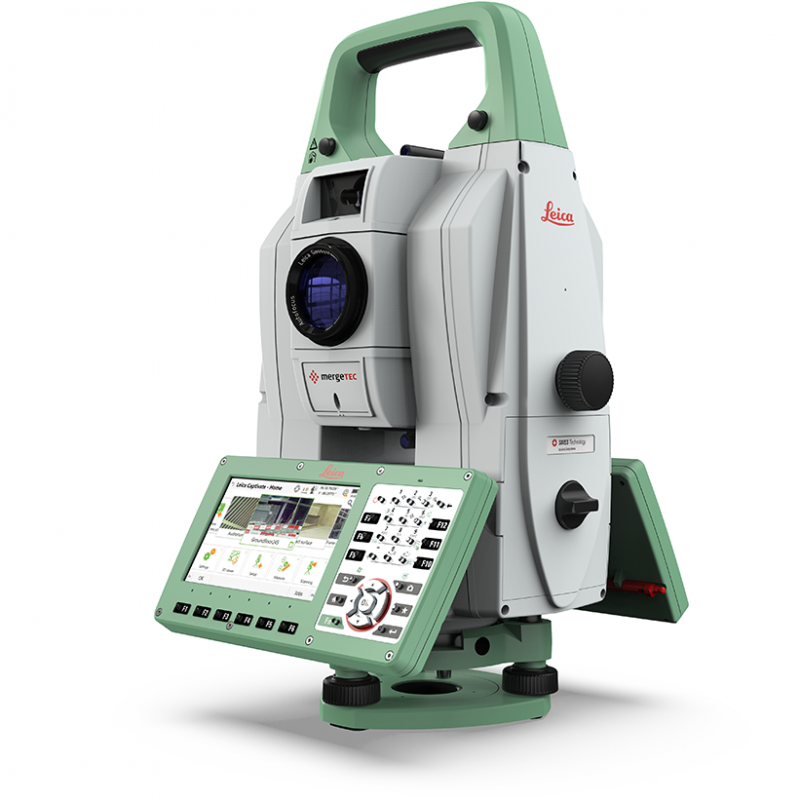
The New Experience in Measuring Technology
To meet the demands of our ever-changing and increasingly-quicker world, we developed the world’s first MultiStation, combining all available measurement technologies in one superior instrument. Now, we’ve made that instrument even smarter. The Leica Nova MS60 MultiStation is the world’s first self-learning MultiStation, automatically and continuously adapting to any environment, despite any challenges.
Scanning with the Leica Nova MS60 has been made simpler through the instant creation of point clouds with overlaid measured points and 3D models in one view. Visualisations are clearer and easier to see on an all-new 5″ screen. The unique capabilities of the Leica Nova MultiStation truly deliver the new experience in measuring technology.
Engaging Software
The Leica Nova MS60 MultiStation comes with the revolutionary Leica Captivate software, turning complex data into the most realistic and workable 3D models. With easy-to-use apps and familiar touch technology, all forms of measured and design data can be viewed in all dimensions. Leica Captivate spans industries and applications with little more than a simple swipe, regardless of whether you work with GNSS, total stations or both.
Infinitely bridging the field to the office
While Leica Captivate captures and models data in the field, Leica Infinity processes the information back in the office. A smooth data transfer ensures the project stays on track. Leica Captivate and Leica Infinity work in conjunction to join previous survey data and edit projects faster and more efficiently.
Multiple software packages, one captivating solution
A portfolio of intuitive software for any application gives you the freedom to choose how you want to work.
Leica MultiWorx for AutoCAD, Leica Cyclone, Leica GeoMos, Leica Infinity, various Hexagon software packages and selected partner third-party software can be integrated into your workflow to create the customised solution for your specific need. Whatever you choose, you’ll enjoy an immersive experience that goes well beyond the data.
Features
- Surfaces and volumes in construction and mining: spoil heaps and stock piles, DTM creation and checking surfaces, material thickness, blast faces and ground levels
- Analysis of complex structures and objects within plant, marine and utility projects: dimensional control, as-built and record keeping
- Measuring buildings and structures: bridge condition/clearance analysis, BIM and as-built
- Façade, elevations and heritage work: creation of traditional façade deliverables, 3D models and photographic documentation
- Traditional topographic surveys for surveying and mapping: creation of traditional deliverables like 2D maps or 3D models
- Monitoring measurement and analysis of ground and structures: real-time or periodic measurement of bridges, dams, buildings and earth, ice and snow
Downloads
Have a question?
Speak to our specialist today.
Contact Us
Speak to our specialist today.
Related products
-
Leica iCon iCR70
Price on Application -
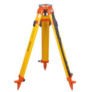
Wooden heavy duty tripod with dual clamp
€195.00 excl VAT (€239.85 incl VAT) -
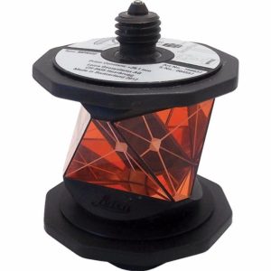
Leica MPR122 360 Prism
€1,345.00 excl VAT (€1,654.35 incl VAT) -
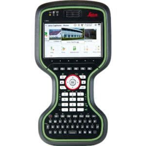
Leica CS20 Controller
Price on Application