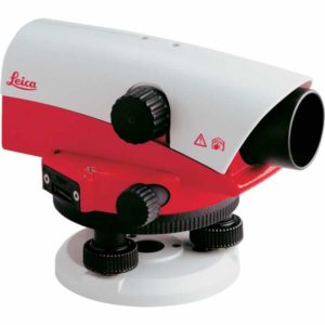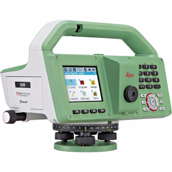
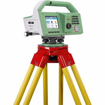

Leica LS10 Digital Level
€5,895.00 excl VAT (€7,250.85 incl VAT)
Description
More comfort with exceptionally reliable results
Complicated infrastructure demands the uppermost accuracy when defining and setting out reference heights. With dedication in striving forward, Leica Geosystems have produced the Leica LS10 & LS15 Digital Levels to provide an enjoyable field experience. From measuring roads, railways, bridges or other structures, the Leica LS Digital Levels provide reassurance and ease to an extensive range of complicated leveling applications.
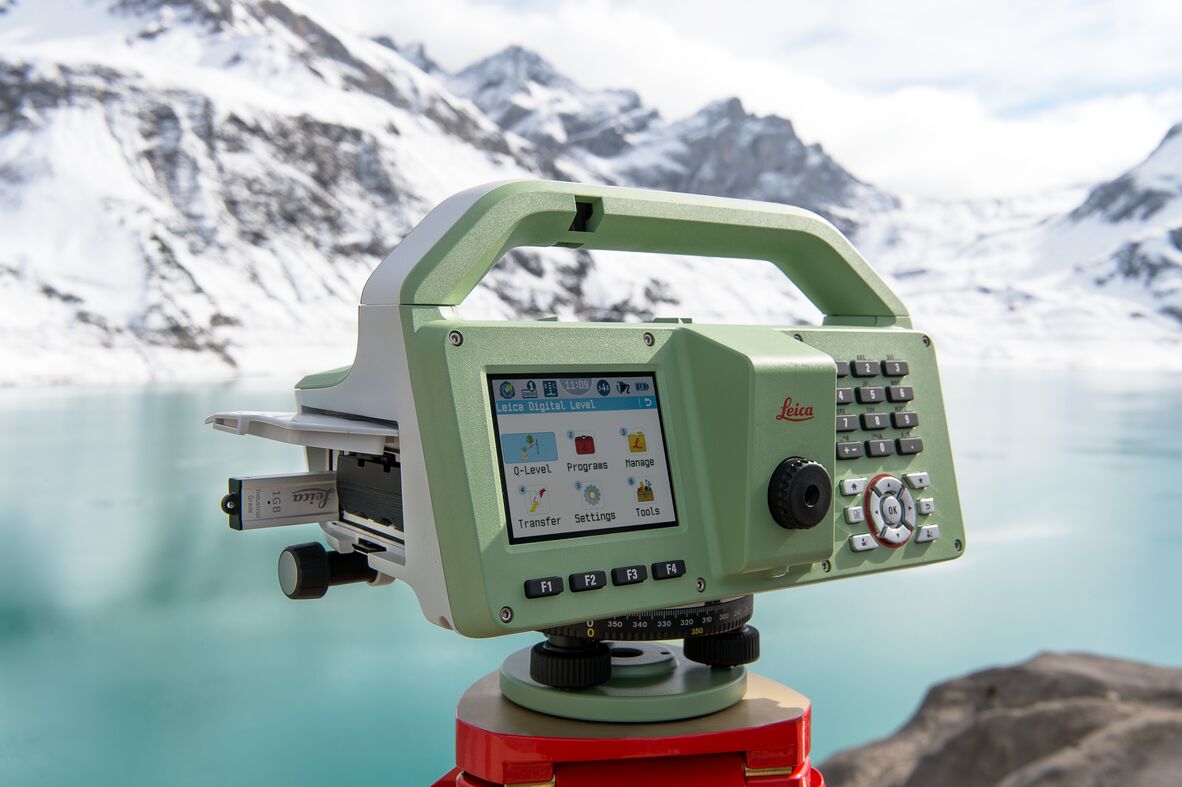
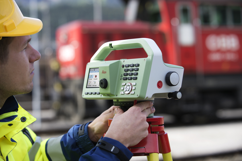
The Leica LS15 achieves all project steps, simplifying demanding tasks associated with the leveling process. 0.2 mm accuracy is accomplished by aiming at the target with the use of the colour touch display and pressing the measuring control. Features such as an electronic bubble, autofocus and tilt checks prior to each measurement help to reduce measuring professionals’ fatigue over a day’s work, reducing the risk of human-based errors.
Faster staff sighting
The Leica LS15 Digital Level is the only one on the market which is equipped with a camera and enables target staffs to be sighted quicker. Operators need to simply locate the staff on the cameras touch screen display and press the measuring button which automatically records the staff reading and measurement data.
Precise hardware
Automated functions and industry-leading 0.2 mm accuracy to standard Invar staffs deliver unmatched reliability. Precision begins by using the electronic level bubble to set up instruments. After one button press, automatic tilt checks are made prior to each measurement. Integrated autofocus not only finds your target faster, it increases measurement accuracy by maximising contrast of the staff.
Infinitely bridging field to office
The field experience of Leica LS digital levels does not finish in the field. After easily transferring your data to the office via a USB or Bluetooth®, Leica Infinity processes your results hassle-free back in the office. This intuitive software enables easy to understand displays of complex levelling data. Combine tables with graphics or even cross check project data in one window for one overall view of level lines, line calculations or adjustments.
Features
Highest Accuracy:
- 0.2 mm accuracy even with standard Invar staffs
- Electronic level bubble for perfect instrument setup
- Tilt check prior to each measurement
- Autofocus for maximal contrast of staff
Efficiency of Work:
- Digital camera enables fast and accurate staff sighting
- Streamline levelling processes with just one push of a button
- Fast and easy data transfer using USB and Bluetooth® connectivity
Field Experience:
- Visualisation of level lines in the field and in the office
- Screenshots document site and field results
- Step-by-step display guidance for levelling line flows
Downloads
Have a question?
Speak to our specialist today.
Contact Us
Speak to our specialist today.
Related products
-
 Add to Cart This product has multiple variants. The options may be chosen on the product page
Leica NA720 Automatic Level
Price range: €340.00 through €440.00 excl VAT (€418.20 incl VAT) -
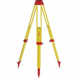
Leica GST120-9 Wooden Tripod
€325.00 excl VAT (€399.75 incl VAT) -
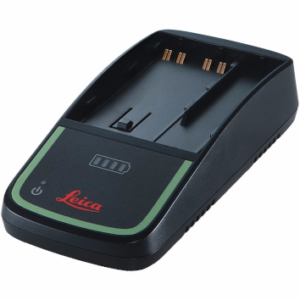
Leica GKL311 Single Battery Charger
€215.00 excl VAT (€264.45 incl VAT)