Leica iCON iCG30
Price on Application
Description
Access the iCON GNSS performance
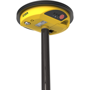
Designed to facilitate the shift from traditional measurement methods using tapes and strings, to modern digital methods, the iCON gps 30 offers an easy-to-use and economic solution for construction measurement tasks.
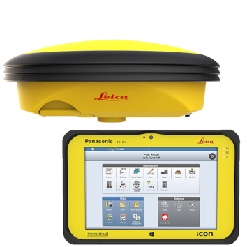
Equipped with Leica iCON field software, the iCON gps 30 can be used to:
- Increase productivity of any construction project by adapting digital measurement methods
- Define and document the position of water and sewer lines, oil and gas pipes or power and communication lines as part of the utility construction process
- Stakeout rough outlines for subsequent building construction tasks or subdividing real property
- Transfer outlines from design to field in landscape gardening projects or road construction
- A simple survey of ground control points for UAV workflows
Ideal stakeout GNNS
The light, compact and balanced design of the iCON gps 30, makes it comfortable to use and carry in the field. With the highest level of position reliability in its class, the iCON gps 30 is the best stakeout support you can have.
Additional Information
Compatible with:
- Leica iCON CC70 and CC80 field controller
- Leica iCON field software
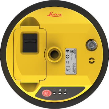
Features
- Entry-point into Leica iCON GNSS performance: Easy to use and equipped with the construction tailored Leica iCON site field software, the iCON GPS 30 facilitates your entry into the Leica iCON GNSS portfolio
- Lightest pole weight: The light, compact and balanced design makes it comfortable to use and carry in the field
- Reliable and accurate measurement results: With the highest level of position reliability in its class, the iCON GPS 30 delivers accurate results and increases productivity
Downloads
Have a question?
Speak to our specialist today.
Contact Us
Speak to our specialist today.
Related products
-
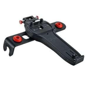
Leica GHT66 Pole Holder Base Plate
€115.00 excl VAT (€141.45 incl VAT) -
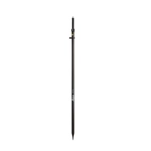
Leica GLS30 Telescopic Carbon Pole
€375.00 excl VAT (€461.25 incl VAT) -
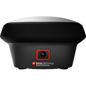
Leica GS18 I GNSS RTK Rover with Visual Positioning
Price on Application -
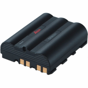
Leica GEB331 Battery
€161.00 excl VAT (€198.03 incl VAT)